Full-moon & event summits 2026–2028 · join a group departure →
Trek Up Kilimanjaro
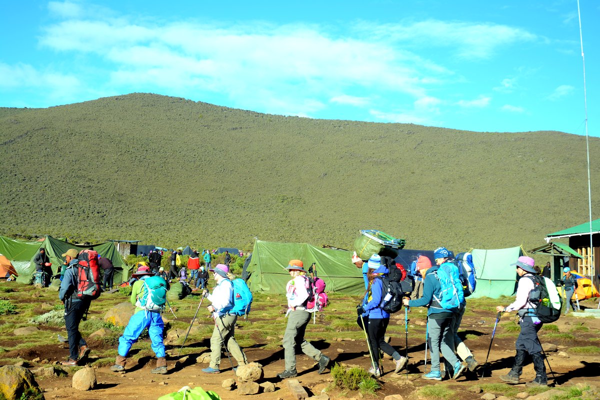
Tents spread across open moorland at camp

Shira Route

Lemosho’s older sibling, and the reason Lemosho exists. It drives you to roughly 3,400 m and starts you there, which suits climbers who arrive already acclimatised and nobody else.

In short

Shira approaches from the west across the same plateau as Lemosho, but the road takes you high before you take a step. That saves a day of walking and costs you the gentlest part of the acclimatisation.

What it does well

  • The full sweep of the Shira Plateau, one of the great high-altitude landscapes in Africa.
  • Quiet on the western approach until it joins the southern circuit.
  • A day shorter than Lemosho for the same upper route.
  • Vehicle access to the gate means a short, gentle first day.

What to weigh up

  • You are driven to about 3,400 m and sleep at 3,610 m on the first night, which is a hard start for an unacclimatised body.
  • Lemosho covers the same ground and walks up to that height instead — for most people it is simply the better route.
  • The road to the gate is rough and can close in the wet.

Route facts

7–8 days
Recommended length
56 km
Total distance
5,895 m
Highest point
West
Approach side
Mweka
Descent route
Camping
Sleeping
Challenging
Difficulty
Jan · Feb · Jun · Jul · Aug · Sep · Oct
Best months

The altitude profile

Circles mark sleeping altitudes. Those are what your body adapts to — the high points you walk over during the day matter far less.

Shira Route elevation profile Route Sleeping altitude
Shira Route elevation profile. Full data is given in the table below. 2,000 m 3,000 m 4,000 m 5,000 m 6,000 m Shira 1 Cam 3,610 Shira 2 Cam 3,850 Barranco Ca 3,900 Karanga Cam 3,995 Barafu Camp 4,673 Uhuru Peak 5,895 Mweka Camp 3,100
Shira Route elevation profile
Day Location Altitude (m) Distance (km) Overnight
1 Londorossi / Shira Gate 3,400 0 No
1 Shira 1 Camp 3,610 7 Yes
2 Shira 2 Camp 3,850 14 Yes
3 Barranco Camp 3,900 24 Yes
4 Karanga Camp 3,995 29 Yes
5 Barafu Camp 4,673 33 Yes
6 Uhuru Peak 5,895 41.5 No
6 Mweka Camp 3,100 50 Yes
7 Mweka Gate 1,640 60 No

The route, camp by camp

As walked on our 7 Days Shira Route itinerary, with the altitudes it gives.
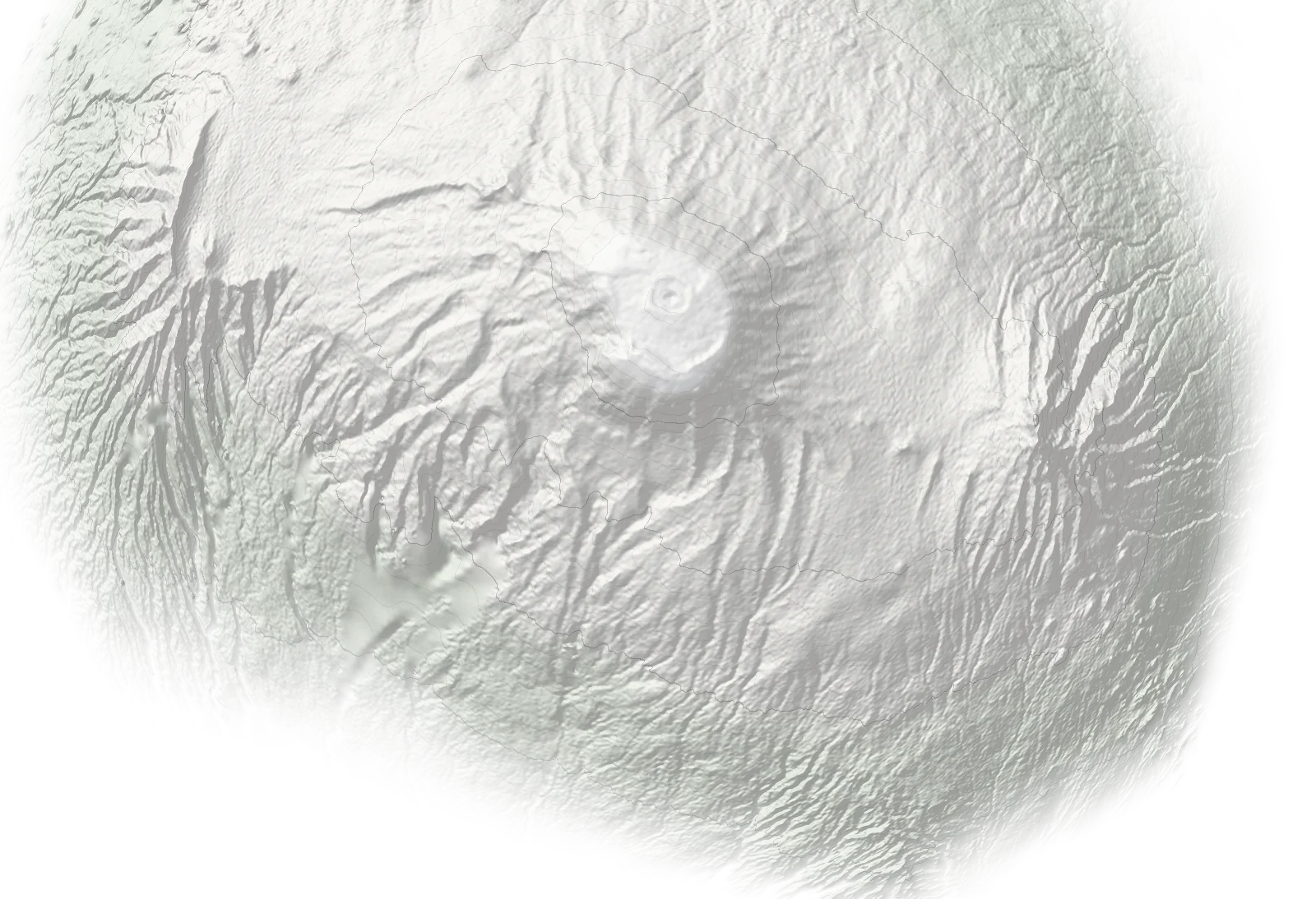
N Mawenzi Shira Gate3,400 m Shira 1 Camp3,610 m Shira 2 Camp3,850 m Lava Tower Barranco Camp3,900 m Karanga Camp3,995 m Barafu Camp4,673 m Uhuru Peak5,895 m Mweka Camp3,100 m Mweka Gate1,640 m
Ascent Descent Overnight camp Schematic map, not to scale: positions are approximate and not for navigation. Altitudes are from our itineraries. Terrain: SRTM (NASA), via Terrain Tiles on AWS.
  1. 01 Shira Gate gate 3,400 m
  2. 02 Shira 1 Camp camp 3,610 m
  3. 03 Shira 2 Camp camp 3,850 m
  4. 04 Lava Tower landmark
  5. 05 Barranco Camp camp 3,900 m
  6. 06 Karanga Camp camp 3,995 m
  7. 07 Barafu Camp camp 4,673 m
  8. 08 Uhuru Peak summit 5,895 m
  9. 09 Mweka Camp · descent camp 3,100 m
  10. 10 Mweka Gate · descent gate 1,640 m

Who this route suits

A good fit for

  • Climbers arriving already acclimatised
  • Anyone who has recently trekked or climbed above 3,000 m
  • Trekkers who want the Shira Plateau without the first day of forest

Probably not for

  • Anyone flying in from sea level days earlier
  • First-time high-altitude climbers — take Lemosho instead
  • Climbers who have had altitude sickness before

Itineraries on this route


Before you decide

At a glance

Acclimatisation 3/5
Trail traffic 4/5
Difficulty 3/5
Scenery 5/5